
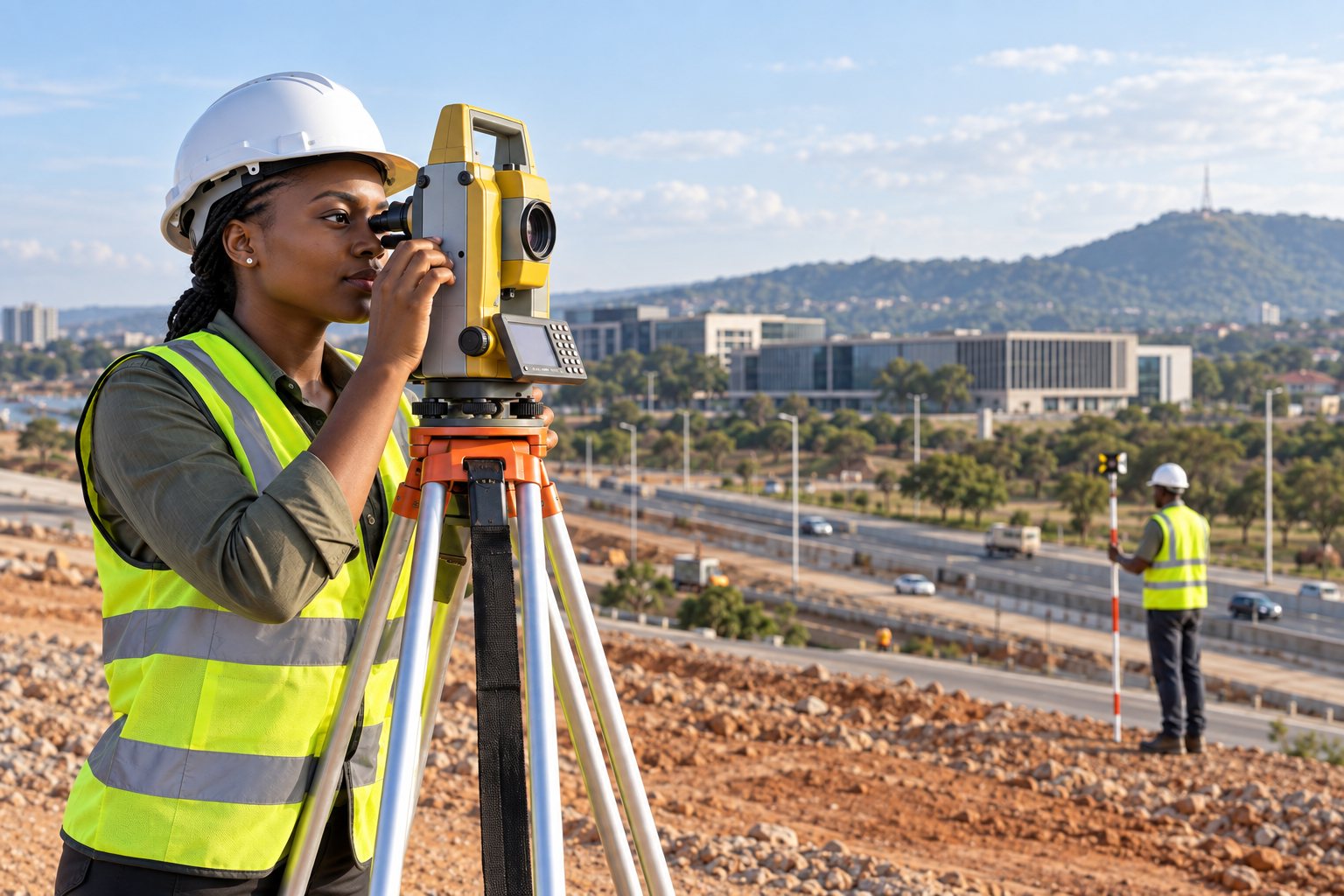
A topographic plan is a silent document: it decides nothing, builds nothing, sells nothing, but everything that follows — the design, the calculation, the estimate, the site, sometimes the lawsuit — rests on it. The land surveyor measures the surface of the earth, represents it and transfers to the ground what others have drawn. The trade comes down to three missions — surveying, setting out, documenting — and to one boundary that must be known: measuring a plot is not saying whom it belongs to.
First mission: the survey
Surveying a plot means measuring its shape, its apparent limits, its relief and what stands on it — buildings, walls, trees, roads, visible networks — then producing a representation at a defined scale and in a defined reference system. The surveyor ties their measurements to known benchmarks, chooses instruments according to the required precision — total station, satellite receiver, level, sometimes drone or scanner — and checks their measurements through closures and cross-checks that reveal an error before it spreads.
The survey answers a precise question the customer must ask: what for? A survey for a building project does not have the same density as one for a subdivision, a road alignment or a record of condition before works. The practice asks about the use before pricing, because the use decides what must be measured and to what precision. It also asks what already exists — an old plan, a title, boundary stones — so as not to remeasure what has been measured and to spot, from the first day, what does not tally between the ground and the papers.
Second mission: setting out
Setting out is the reverse operation: transferring onto the ground, with pegs, marks or lines, the axes, corners, levels and footprints of a project drawn by others. The surveyor starts from the plans and coordinates supplied, checks them, flags inconsistencies — a building extending onto the neighbouring plot, a level incompatible with the road — and marks what must be marked, to the precision the site requires. They record what they set out in a report, because a peg torn out by an excavator the next day must be put back in the same place.
Setting out commits the surveyor on the position of what they marked; it commits them neither on the quality of the design nor on the conformity of what the contractor will then build.
Third mission: the documents
Topographic plan, as-built plan after works, longitudinal and cross sections, area and volume calculations, digital files in the formats requested, setting-out reports: the practice’s deliverables are technical documents, dated, signed, tied to an identified coordinate system, with a stated precision. The practice indicates what it measured itself and what it took from existing documents; it does not draw a boundary it has not measured without saying so.
FIG, the international federation of surveyors, promotes professional practice and standards for the profession worldwide; in concrete terms, a serious practice applies its country’s rules on the form of documents, signature, data retention and the signatory’s liability.
Measuring is not saying who owns
This is the most important boundary of the trade, and the most misunderstood. A topographic plan represents apparent limits — fences, walls, boundary stones found — and measurements; it does not say who the owner is, nor where the legal boundary runs. That question belongs to land law, the cadastre, titles, deeds and, in many countries, to an authorised professional — licensed surveyor, notary, land administration — with an adversarial procedure between neighbours. The practice that demarcates without being authorised, or lets it be believed that a plan is as good as a title, exposes its customer to a dispute it will not be able to settle.
UN-Habitat recalls that tenure security rests on a continuum of rights — from customary right to registered title — and that land tools must be adapted to that diversity. The surveyor is one of those tools: they supply the reliable measurement a recognition procedure needs; they are not the procedure.
The as-built survey: measuring what was actually built
At the end of a site, what was built never matches exactly what was drawn: a buried network went around a rock, a building was shifted, a slope was softened. The as-built plan measures the work as it exists — position, levels, networks before backfilling — and becomes the reference for operation, maintenance and future works. A buried pipe without an as-built record is a pipe the next excavator will pierce; a building without an as-built plan is a building no one will be able to extend without measuring everything again. The practice offers the as-built survey as a mission in its own right, scheduled before the trenches are closed, and not as a favour added on the last day.
Instruments, calibration, checking
A total station, a satellite receiver, a level are adjusted and checked; a misadjusted instrument measures wrongly with total confidence. The practice checks its instruments at regular intervals, knows the limits of each method — satellite positioning under dense tree cover or between buildings, levelling over a long distance — and chooses the method suited to the required precision. It keeps its raw data, which makes it possible to find out, years later, how a point was measured — and to answer, without going back to the field, the lawyer or the engineer who asks where a figure comes from.
Mission, precision, price: the surveyor’s estimate
The estimate describes the mission — survey, setting out, as-built —, the area or footprint, the expected precision, the reference system, the deliverables and their format, the lead time, and what is not included: searching for lost boundary stones, dealings with the cadastre, clearing vegetation, access. The price depends on area, point density, accessibility, relief and precision; the practice announces no “price per hectare” valid everywhere.
Its liability covers the accuracy of its measurements and documents, within the stated precision. It covers neither the use others will make of the plan, nor legal boundaries it has no authority to fix, and the estimate says so.
The field: heat, access, safety
The surveyor works outdoors, often alone or in pairs, on rough ground, at roadsides, on active sites. Helmet and vest on sites, signage at roadsides, water and sun protection, a charged phone and a communicated route in remote areas: the trade’s safety is a matter of preparation, and the practice that sends an assistant alone with a prism beside a busy road takes a risk no estimate justifies.
In the African context
Land is, on the continent, what gives the trade its weight and its delicacy. Titles missing or disputed, customary rights overlaid on registered rights, incomplete cadastres, rapid urbanisation of land whose boundaries were never measured: UN-Habitat describes this continuum of rights and the tenure insecurity that follows. The surveyor is called upon at every stage — measuring a plot before a purchase, before a construction, before a dispute — and their measurement is often the only objective piece in a file. That gives them a responsibility their technical training does not fully cover: that of saying exactly what their plan proves and what it does not.
The second variable is benchmarks and reference systems: geodetic networks unevenly maintained, reference points destroyed by works, old and recent systems coexisting. The practice that ties its surveys correctly and documents the system used makes its plans usable by others; the one that works in an undocumented local system produces plans no one will be able to connect.
The trade is also practised with very unequal means: practices equipped with precision receivers and drones sit next to practitioners with a tape and a level, and professional recognition — chamber, licence, authority to demarcate — varies from one country to another. FIG argues for common standards of practice; on the continent, the practice that displays its method, its precision and its legal framework advances a profession on which, very concretely, peace between neighbours and the soundness of buildings depend.
A plan that does not say who owns
On a well-made topographic plan, one reads: what was measured and when, in which system, to what precision, by whom; what was taken from existing documents; and, in so many words, that the boundaries represented are apparent boundaries that do not prejudge rights.
A practice that writes that sentence serves everyone: the customer, who knows what they hold; the neighbour, who knows they have not been judged; and the profession, whose value lies in its plans never being disputed — because they never claimed to say more than what they measure.